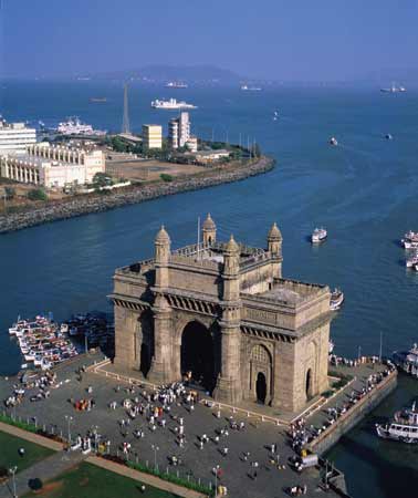
In New Delhi India, among the several parts of western and eastern coasts are in danger are the quiet and lovely emerald green backwaters located in Mumbai and the Kerala. Coastal areas of these areas are facing threat due to the rising sea level because of climate change.
The government report said that aside from emerald green and Kerala, other areas facing threats are Deltas of Ganga, Krishna, Godavari, Cauvery, and Mahanadi of the east coast part as well as the irrigated land.
Indian Coastal Areas in Danger with the Rising Sea Level
According to the reports, there is an estimate increase of sea level of about 3.5 to 34.6 inches between the years of 1900 and 2100.
This dramatic increase will surely make the coastal area at risk. Areas within the stretch of the western Indian coast like Khambat and Kutch Gujarat, Mumbai and some parts of Konkan coast as well as south Kerala are the ones most likely to get affected.
According to reports, the loss of the mentioned region will create a noticeable impact in some state.
So, today, the Second National Communication to the United Nations Framework Convention on Climate Change of India is now equipped with multi-disciplinary teams and other groups with similar interest, which consists of 220 scientists to serve 120 different institutions.
Experts preparing the said report are known to have visited the said areas including Nagapattinam in Tamil Nadu, which was hit by a tsunami in 2004.
Through this visit, they were able to make a detailed study about the rise of the sea level. In their study, experts used digital elevation model data with 90m resolution, digital processing and GIS software.
Using these tools, they were able to determine an estimated flooding between 4.2 square kilometer and 42.5 square kilometer if the sea level will have a rise of 1.0 m and 2.0 m respectively.
This observation is possible in the surrounding regions of Nagapattinam.
On the other hand, with the same sea level rise rate, 169 sq km and 599 sq m of the regions surrounding Kochi will be flooded.
Kochi is a region connected directly to the backwaters. Many of the inland areas are located away from the coast. However, these inland areas are nearby tidal creeks, backwaters, and lake. According to the report, this cause to the dramatic increase of the total flooded area.
On the other hand, in Paradip, the landscape is not smooth and it has a large area of low-lying areas directly connected to tidal creeks and river inlets making it the most vulnerable area with a possible flooding area of 1128 sq km with a 2 m rise in seal level. In addition, 478 sq km of the Paradip coastal area will be flooded with just 1 m rise in sea level.
All of those creeks, estuaries, and creeks nearby the shoreline are at increased risk of flooding and will have an increased flooding zone of up to 40 km approximate. Therefore, the entire Kochi region is at risk.


Leave a Comment
You must be logged in to post a comment.